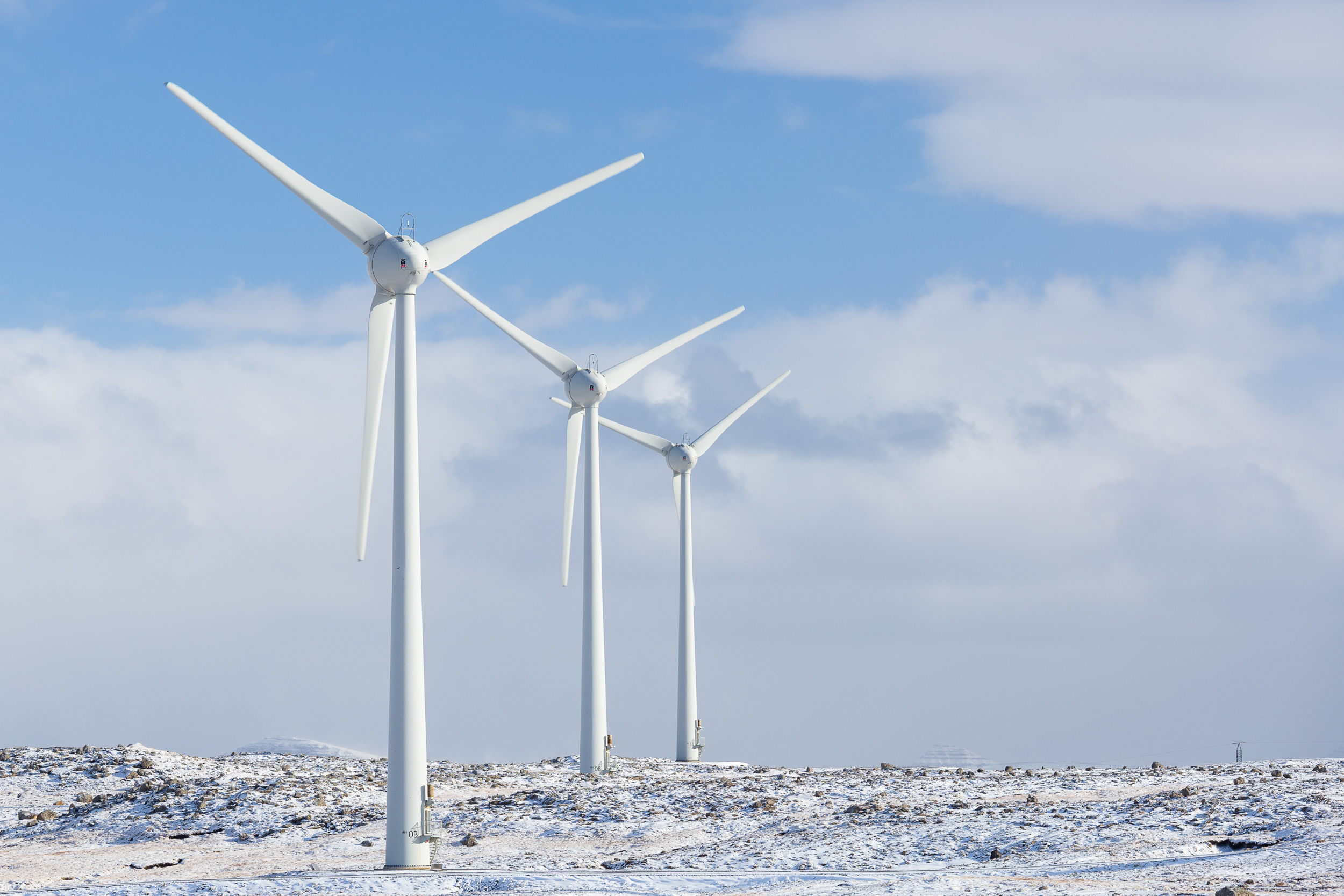
The weather forecast for my first full day in the Faroes was supposed to be pleasant, so not much encouragement was needed to get me out the door and on the road. The roadmap produced by the Faroe Islands tourist board is really quite good and includes a “buttercup” icon that represents scenic spots or roads. I picked one that climbed above Tórshavn, coming across a wind farm after a few minutes of driving. It only took opening the car door to see why this form of electricity production is so pervasive in the Faroes — it’s never not windy!
Mykines
A small green flotilla
They call Singapore a “little red dot,” a reference to how it looks on some maps as being no bigger than a pinhead south of Malaysia. There’s an archipelago, however, whose locator dot nearly obliterates the islands from the map; halfway longitudinally between Norway and Iceland, north even of the Shetland Islands, are the Faroe Islands. More or less centered around 62° N latitude, this remote cluster of dots is supposed to be a hidden treasure in the North Atlantic. Eager to explore destinations laughably impractical from the US while I’m still in Europe (n.B.: Singapore, of course, is not at all laughably impractical), I set out northbound from Munich the day after I arrived back from my work trip to China.